
This is a growing collection, and I will be adding new tools regularly to keep the list fresh and comprehensive. Do you have a suggestion? If you know of a great tool that would help others or have an idea for one, please get in touch. Explain your idea, and I will see what I can do.
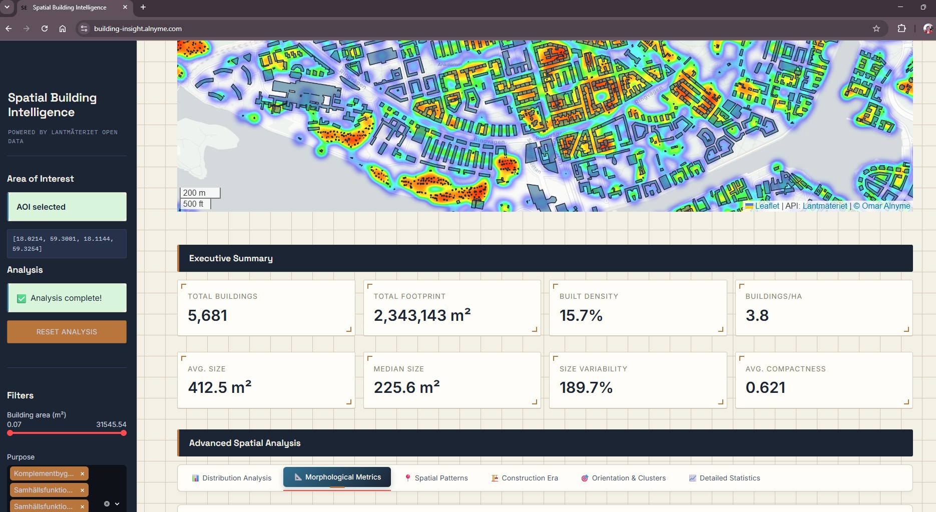
Spatial Building Intelligence
Advanced Geospatial Analytics for Urban Morphology and Spatial Planning
Spatial Building Intelligence is an advanced, web-based geospatial analytics platform that transforms raw cadastral data into actionable urban insights. By dynamically integrating authoritative Lantmäteriet building footprint data with rigorous spatial algorithms—including morphological indexing, Nearest Neighbor analysis, and DBSCAN clustering—the application quantifies urban form in real time. Designed for urban planners, researchers, and municipal analysts, it democratizes complex geospatial statistics through an intuitive, interactive dashboard, enabling evidence-based spatial planning and data-driven decision-making without the need for specialized programming or local computational infrastructure.
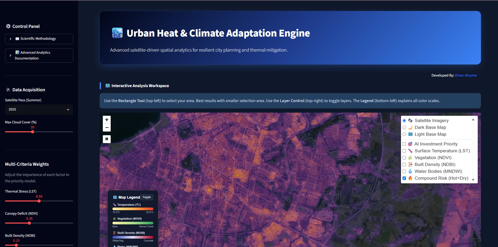
Urban Heat & Climate Adaptation Engine
Interactive Urban Morphological Visualization
This application delivers a satellite-driven framework for analyzing urban thermal dynamics and prioritizing climate adaptation interventions. Using multi-temporal Landsat imagery, it computes high-resolution indices for surface temperature, vegetation health, and impervious cover, then synthesizes them into a configurable heat risk model. The platform empowers urban planners, researchers, and municipal teams to identify critical thermal zones, optimize green infrastructure investment, and generate exportable analytics for evidence-based resilience planning.
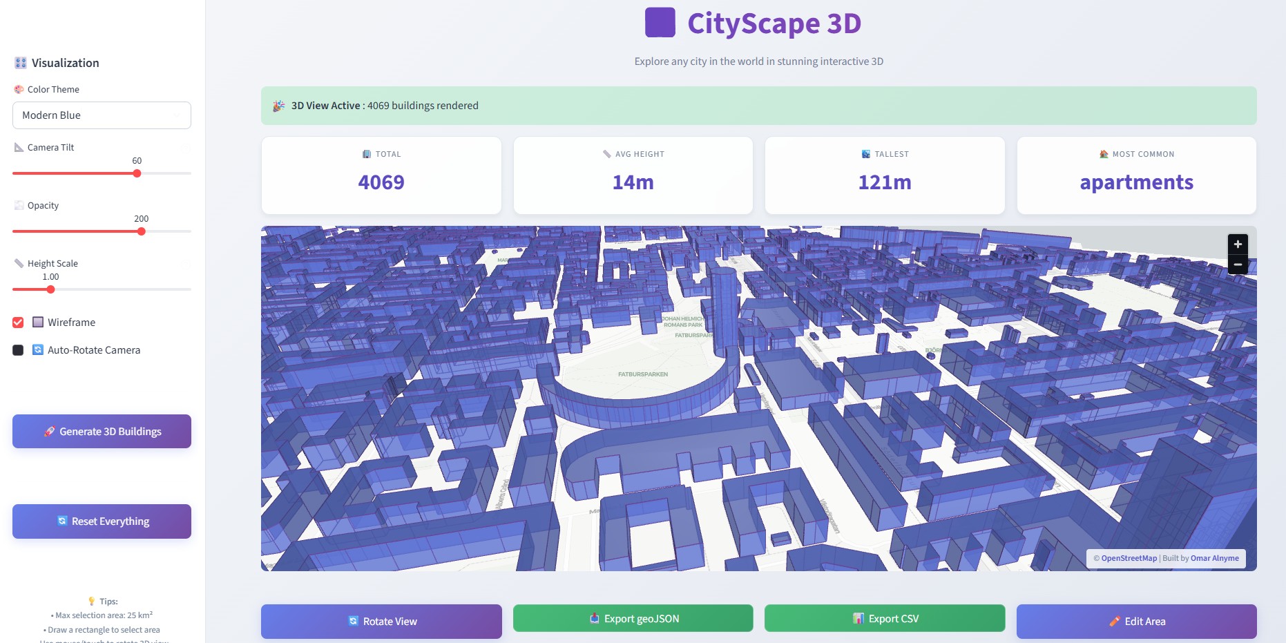
CityScape 3D
Interactive Urban Morphological Visualization
Transform 2D geospatial data into immersive 3D cityscapes. CityScape 3D is a web-based platform that enables the real-time extraction, rendering, and quantitative analysis of urban environments directly from OpenStreetMap.
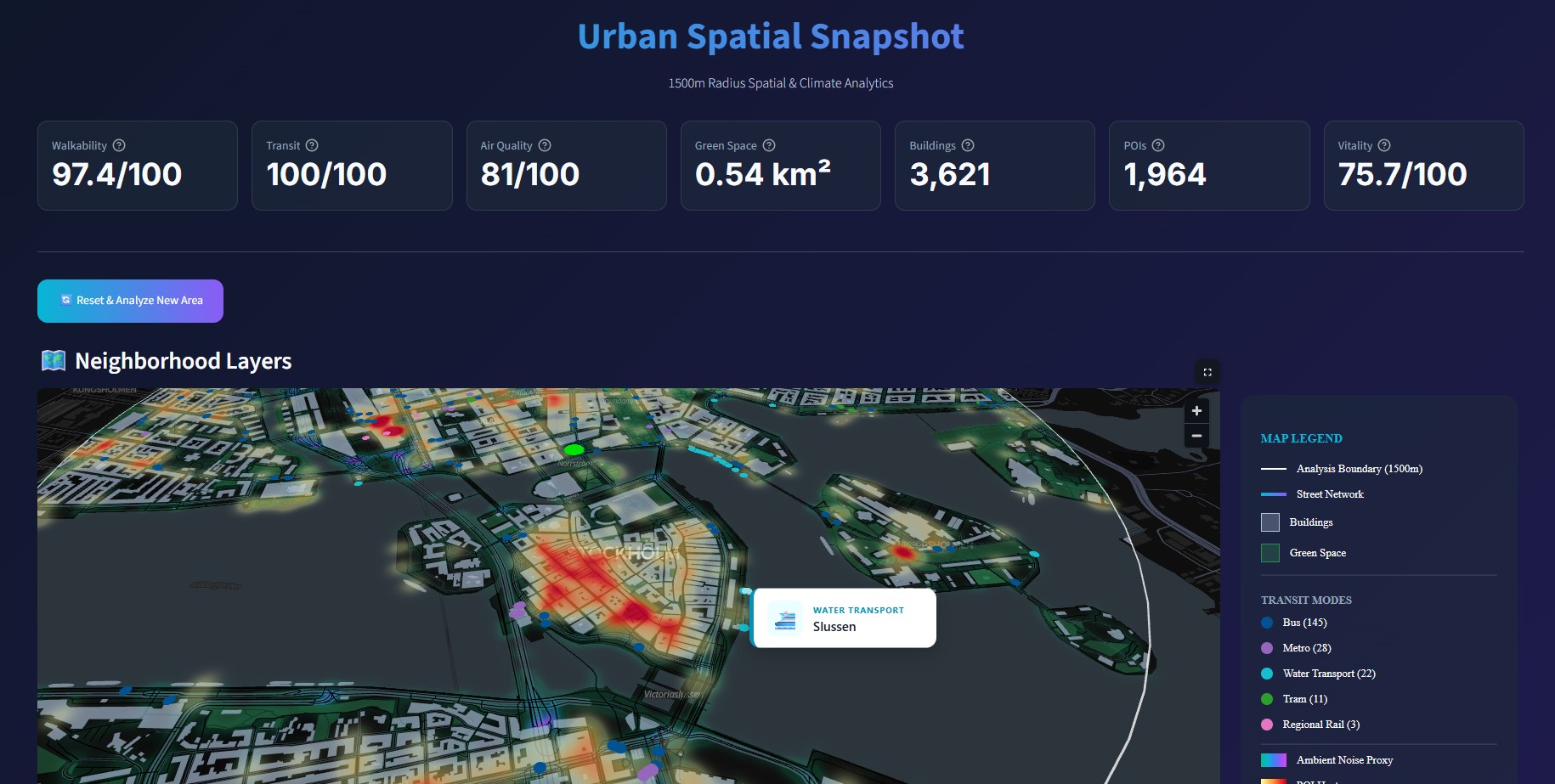
Urban Spatial Snapshot
A Scientific Tool for Neighborhood Analysis
Urban Spatial Snapshot is a computational platform designed to transform the complex, multi-dimensional data of an urban environment into a suite of quantifiable, scientifically-grounded metrics. By leveraging open geospatial data, real-time environmental APIs, and established theories from urban planning, spatial statistics, and environmental science, the tool provides a holistic, data-driven snapshot of any chosen location’s urban fabric.
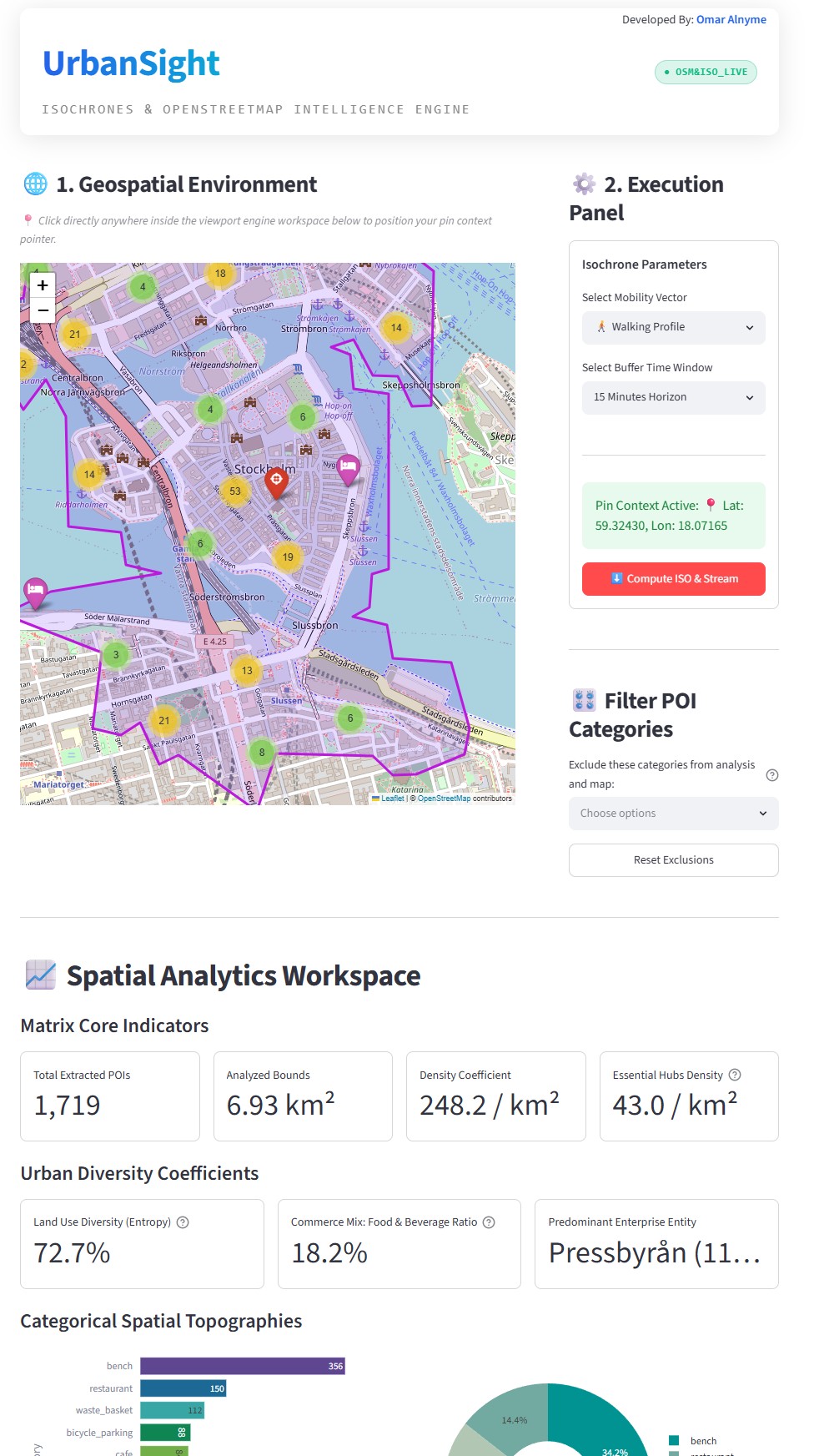
UrbanSight-ISO
Isochrones & OpenStreetMap Intelligence Engine
UrbanSight-ISO is a sophisticated spatial analytics application engineered to quantify urban environments, assess neighborhood accessibility, and evaluate the functional completeness of urban ecosystems. By integrating real-time routing algorithms with comprehensive geospatial databases, the engine transforms raw geographic coordinates into actionable, high-dimensional urban intelligence.
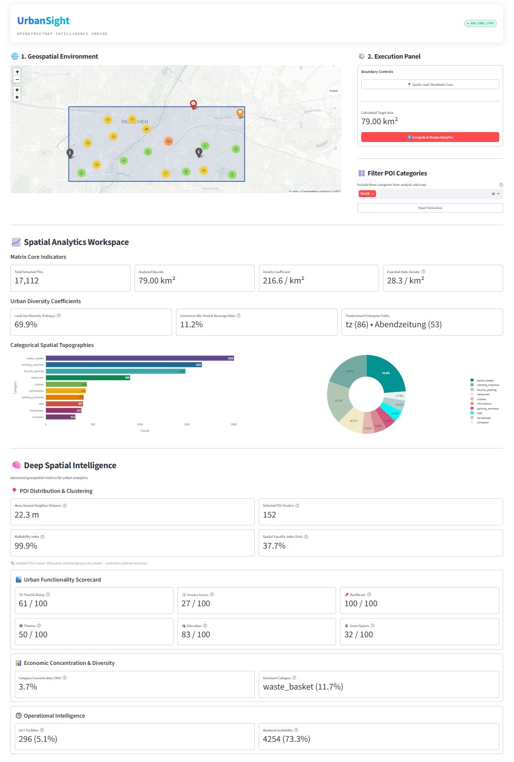
URBANSIGHT
OPENSTREETMAP INTELLIGENCE ENGINE
UrbanSight is an advanced geospatial analytics platform designed to quantify, visualize, and interpret urban environments through high-resolution OpenStreetMap data. By leveraging dynamic Points of Interest extraction, the application provides a comprehensive suite of spatial statistics to evaluate urban morphology, infrastructure completeness, economic diversity, and pedestrian accessibility. Built for urban planners, geospatial researchers, and real estate analysts, UrbanSight transforms raw crowdsourced geospatial data into actionable, high-fidelity intelligence.
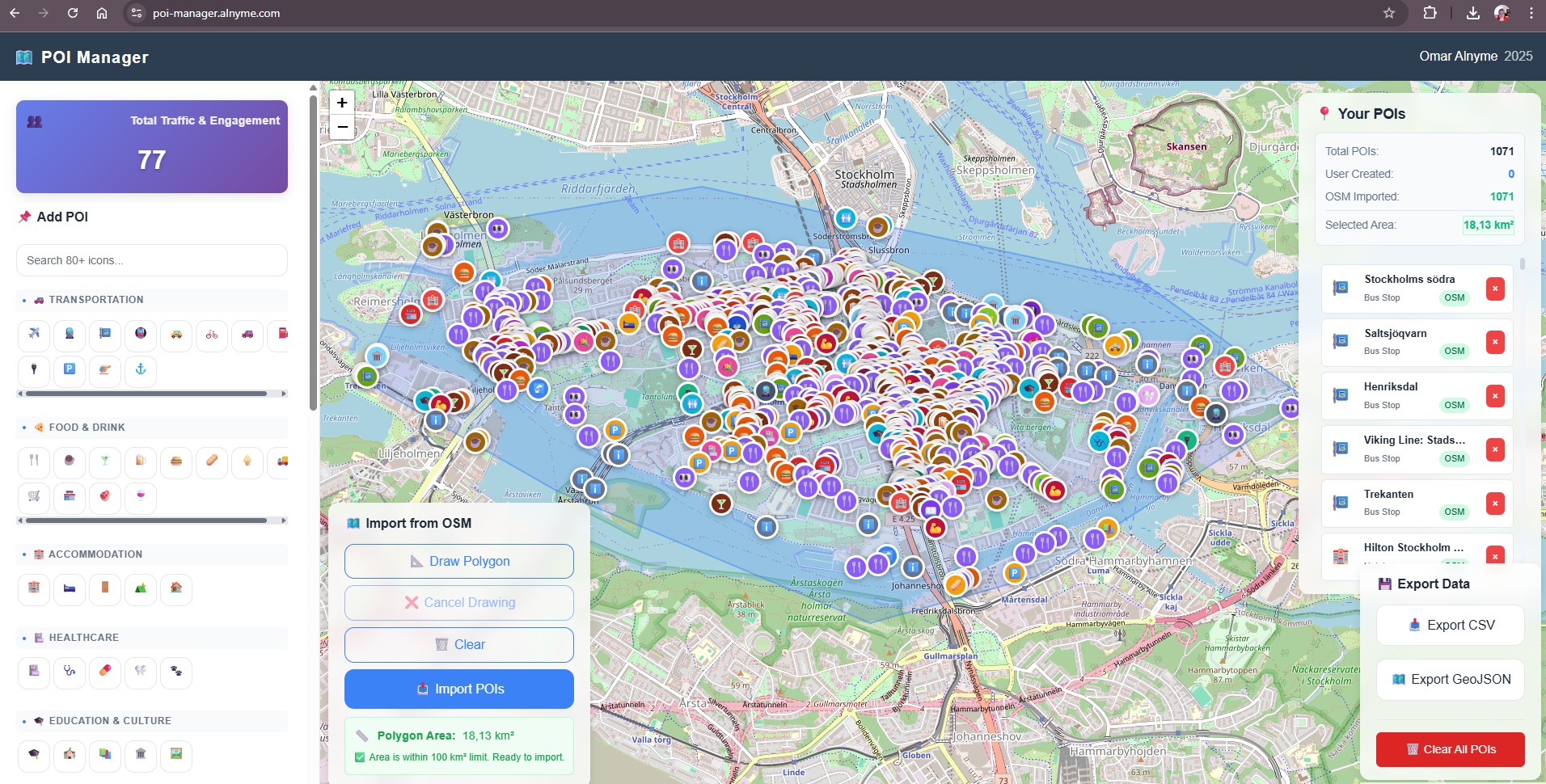
POI Manager
Streamline Your POI Data Workflow with Direct OSM Import.
Effortlessly build custom location datasets with the newly enhanced POI Manager.
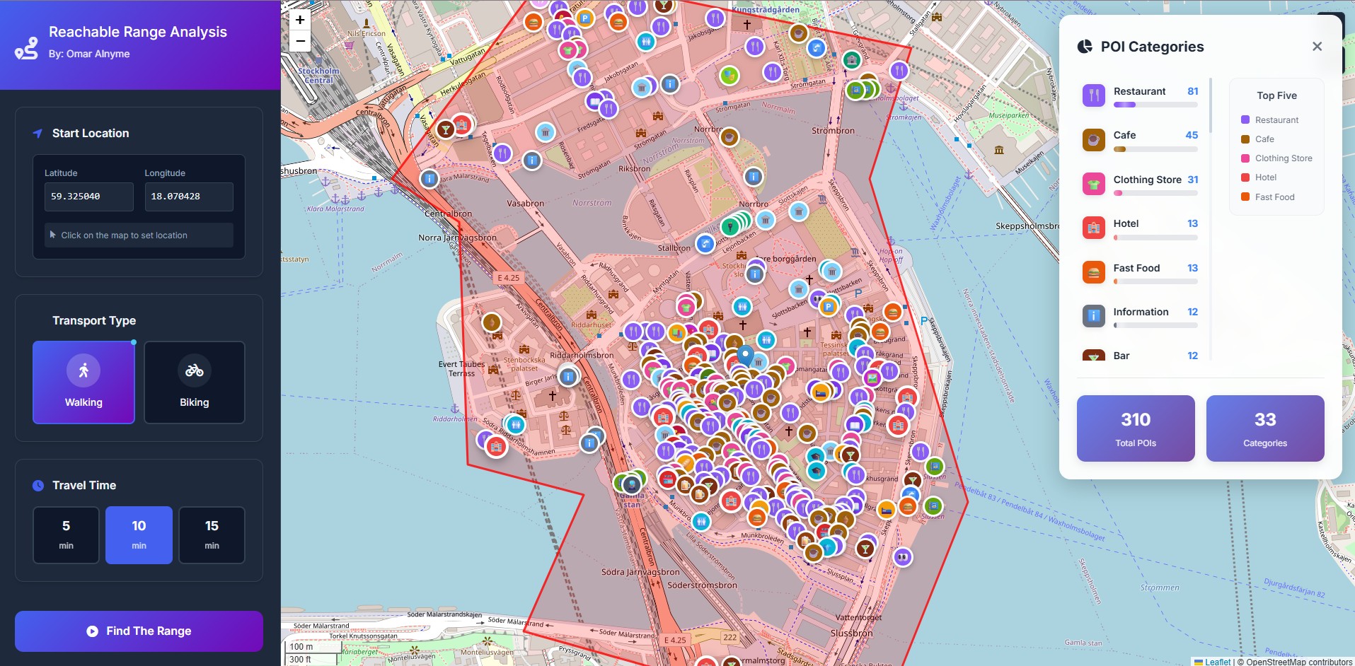
Map Your Reach: Accessibility Analysis Tool
The Map Your Reach tool is a sophisticated web-based application for conducting real-time accessibility analysis.
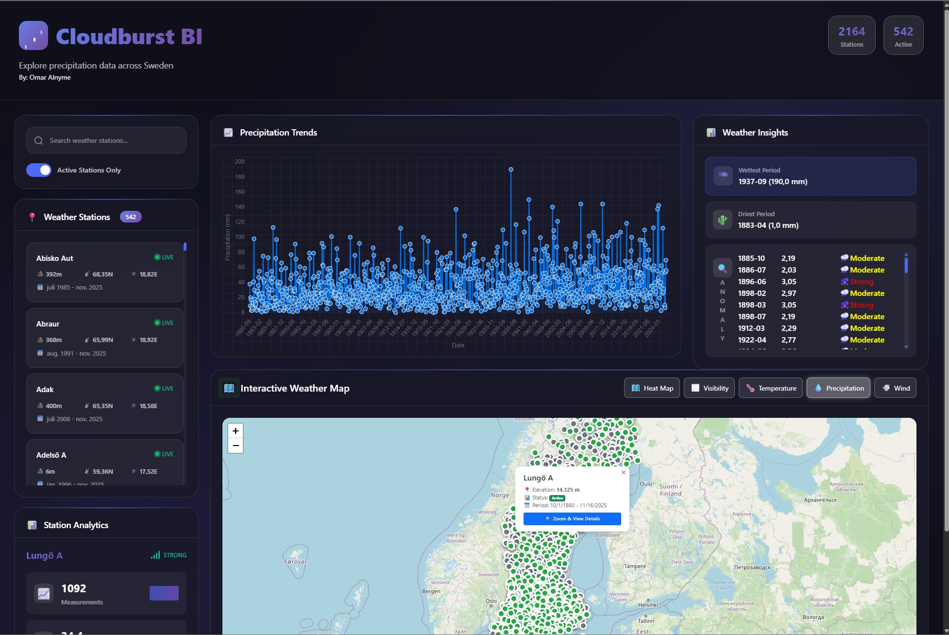
Advanced Precipitation Analysis Dashboard: Methodology & Scientific Background
This interactive dashboard provides a specialized platform for the analysis of historical precipitation data across Sweden. Its primary purpose is to facilitate hydro-meteorological investigations, with a particular focus on long-term trend analysis and the identification of extreme precipitation events, such as cloudbursts (skyfall). The tool is engineered to serve researchers, urban planners, engineers, and environmental scientists by transforming raw meteorological data into actionable insights.
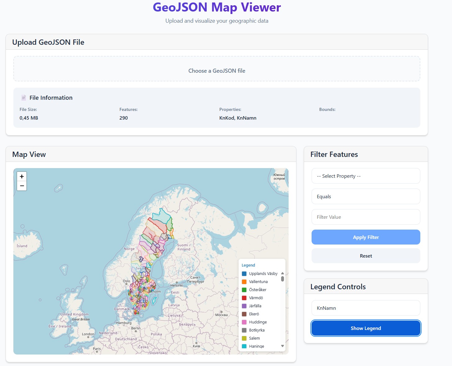
GeoJSON Map Viewer
Instant GeoJSON Analysis in Your Browser
Simplify your spatial data workflow with this free, web-based tool for instant GeoJSON analysis.
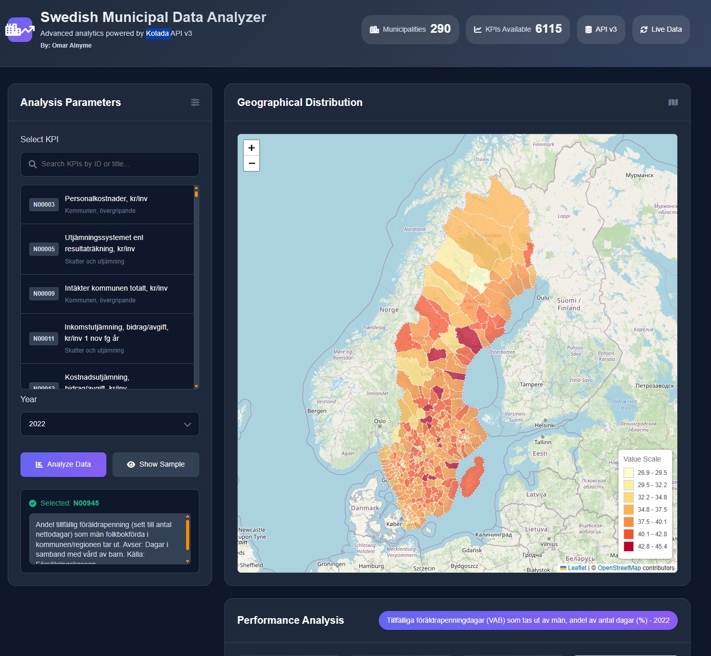
Swedish Municipal Data Analyser
Welcome to a tool designed to make Swedish public data accessible to everyone. This platform provides a streamlined gateway to the vast Kolada database, allowing you to visualize and analyze key metrics for every municipality in Sweden in seconds
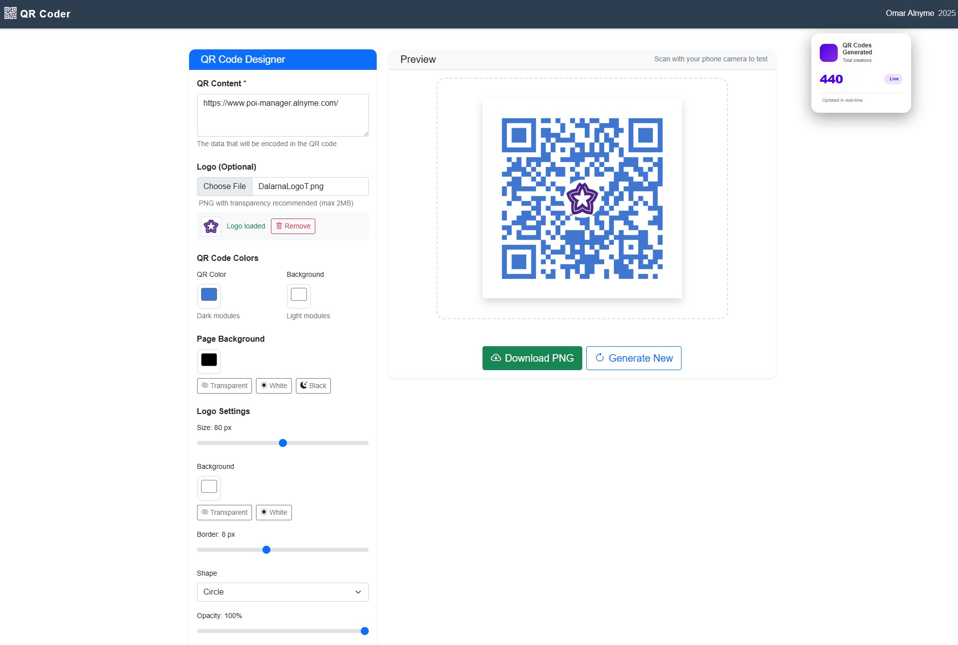
QR-Code Generator
Create Branded, Custom QR Codes in Seconds
Elevate your digital marketing with a truly free, professional QR code generator.
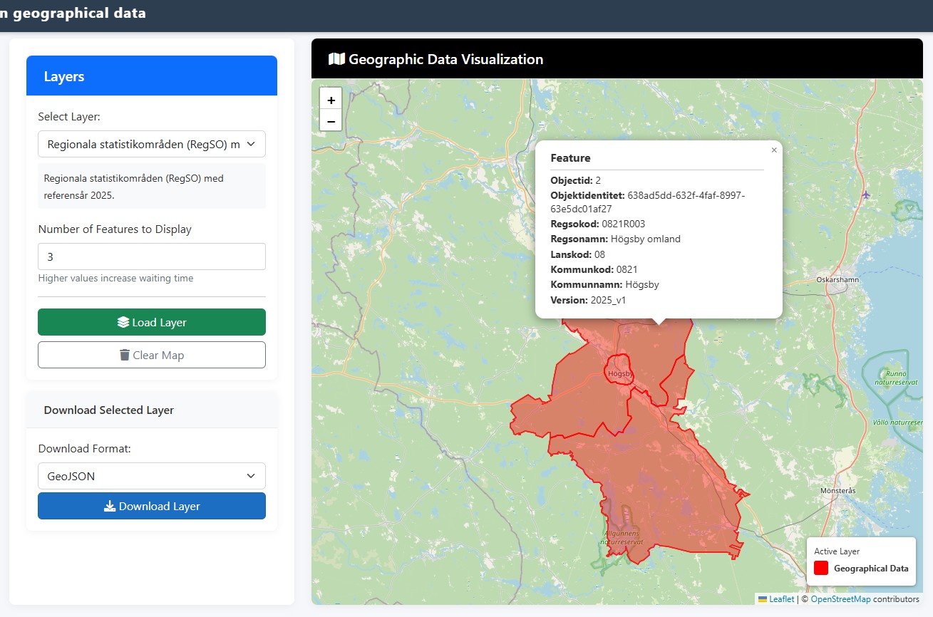
Unlock Sweden’s Geospatial Data
It’s designed to give you instant, hassle-free access to Statistics Sweden entire catalog of geo layers.